
CYCLONE Zelia has intensified rapidly to a category 3 overnight and is expected to reach category 5 before it crosses the coast.
As the intense tropical cyclone bears down on northwest Australia the Pilbara ports of Dampier and Varanus Island have joined Port Hedland in clearing all berths by 6am AWST on Thursday 13 February.
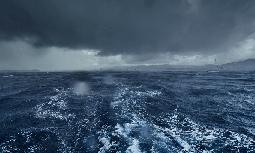
The Australian Bureau of Meteorology has upgraded its warning overnight and says severe tropical cyclone Zelia will bring very destructive winds and heavy to locally intense rain to the Pilbara coast. Wind gusts of up to 260 kilometres per hour are likely close to the centre of the cyclone as it crosses the coast.
The warning zone for Zelia is from Bidyadanga to Dampier, including Port Hedland, Karratha and Dampier, and extending inland to Marble Bar with a watch zone from Dampier to Mardie and inland areas to Nullagine.
DFES has increased its emergency teams in the Pilbara in preparation for the cyclone. Rivers in the region are already running high and are expected to produce significant flooding.
DFES commissioner Darren Klemm told a media conference on Wednesday it was bringing in a rescue helicopter, flood boats and planes and would open an evacuation centre at Port Hedland.
Road supply chains are expected to be cut for up to a week or more, according to Mr Klemm with major roads including the North West Highway expected to be flooded.
This morning BOM warned that sustained winds near the cyclone’s centre were 155 kilometres per hour with wind gusts to 220 kilometres per hour.
It was located around 135 kilometres north of Port Hedland and 245 kilometres northwest of Karratha.
BOM said Zelia has begun to intensify more rapidly and is expected to develop to category 5 intensity today.
“It is expected to remain slow moving to the north of Port Hedland today before moving to the coast on Friday. Zelia is forecast to bring destructive wind gusts to communities on the Pilbara coast from as early as Thursday night and more likely Friday as Zelia nears the coast,” BOM’s warning said.
“However, there is great uncertainty as to where and when the very destructive inner core of the cyclone will cross the coast. Zelia could cross the east Pilbara coast on Friday or it could move further west and cross the west Pilbara coast on Saturday. Heavy rainfall is expected on the coast during the next couple of days and falls will be locally intense near the centre of the cyclone as it crosses the coast.
“Gales with damaging wind gusts to 120 kilometres per hour are developing near the coastal fringe between De Grey and Whim Creek, including Port Hedland. During Thursday these may extend to other areas along the coast between Bidyadanga and Dampier, including Karratha.
“These damaging wind gusts may extend west to Mardie during Friday if the system moves further west. Damaging wind gusts to 120 kilometres per hour may also extend inland to Nullagine during Friday.
“Destructive wind gusts of up to 160 kilometres per hour may develop between Whim Creek to Wallal Downs on Thursday as Zelia moves closer to the coast. Alternatively, destructive wind gusts may be delayed until late Thursday or Friday and occur between De Grey and Mardie, if the system remains off the coast and moves further west.
“Heavy to locally intense rainfall which may lead to flash flooding is likely during Thursday across coastal and adjacent inland areas between Whim Creek and Wallal Downs. Isolated heavy rainfall is forecast along the coast between Bidyadanga and Dampier, and extending inland to Nullagine during Thursday. A Flood Watch is also current for catchments in the Pilbara and western Kimberley.
Residents between Karratha and Bidyadanga are specifically warned of the potential of a dangerous storm tide as the cyclone centre crosses the coast. Tides are likely to rise significantly above the normal high tide mark with damaging waves and dangerous flooding of some low-lying areas close to the shoreline.


